1997 Monteith Overview
A downloadable mod
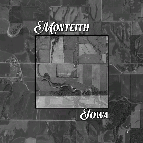
This it a 1997 PDA for the Monteith Iowa map. It replaces the Overview image within the map files. Good for those old school playthroughs. Its pretty easy to do this on other maps that use Google Earth overlays. With Paint.net open your map's PDA and bring in a Google Earth screenshot of the map's area under a new layer. Drop the screenshot's opacity to line the two images up, crop what you don't need, and merge the two layers. Save and rezip.
Download